WORLD MAP QUIZ - Edition 6
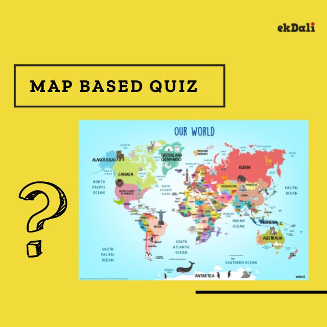
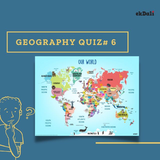
Let’s dive into this quiz based on world map and test your geography knowledge. Let’s ponder, let’s learn, and let’s explore the treasure box of questions. Knowledge is wealth, so come let’s become wealthy. Please scroll down to find the answers to the quiz.
- Name the tallest mountain in Europe.
- An area of flat land shaped like a triangle where a river divides into smaller rivers as it goes into the sea. So, can you locate the Red river delta?
- What are Lacustrine plains? How are they formed?
- Which Indian state borders three countries, Nepal, Bhutan, and China respectively?
- What is the new name of Jog or Gerosoppa waterfall situated in India?
- India shares the longest international boundary with which among the following countries? Bangladesh, Nepal, or China?
- Which is the oldest mountain range in India?
- Which is the river that crosses the Equator twice? I mean the imaginary line Equator.
- Which is the largest river island in India? Clue: it became the first island to be made a district in India.
- In India Didwana, Kuchaman, Sargol, and khatu are the names of Glaciers, or Saline lakes, or Mangrove forests.
- Which of the following seas has no coastline: The Red Sea, the Sargasso Sea, or the North Sea?
- A harbor or haven is a sheltered body of water where ships, boats, and barges can be docked. Where is the world’s largest natural harbor?
- What European country consists of a boot-shaped peninsula surrounded by four seas?
- Which is the smallest country area-wise in the Asian continent?
- Which Indian city is known as the Venice of the East?
- What is the name of the dangerous Pacific Ocean region, where there are many active volcanoes and frequent earthquakes?
- Black forests are found in which country? Germany, France, or Romania?
- A channel is a wide strait or waterway between two landmasses that lie close to each other. Where is the 10-degree channel found?
- The largest island in the world is Greenland. It is an integral part of which country?
- Radcliffe line is a boundary line between which two countries?
ANSWERS FOR THE QUIZ
- Mount Elbrus, Caucasus Mountains, Russia
- The Red River Delta or Hong River Delta is the flat low-lying plain formed by the Red River and its distributaries merging with the Thai Binh River in northern Vietnam.
- A lacustrine plain or lake plain is formed due to a lake’s past existence and its accompanying sediment accumulation. The Kashmir Valley of India is also an example of a lacustrine plain. Lacustrine plains are some of the flattest of all landform features.
- Sikkim – Bhutan in the east, China in the north, and Nepal in the west.
- Jog or Gerosoppa waterfall was renamed Mahatma Gandhi Waterfall. It is the second-highest plunge waterfall (253 meters) in India situated in Sagara taluk, Shivamogga district in Karnataka. The waters of River Sharavathi form this waterfall.
- Bangladesh. Bangladesh shares the longest border of all these nations. The length of the border between India and Bangladesh is 4096.7 kilometers.
- The Aravali range is the oldest mountain range in India, running across Rajasthan to Haryana. The Aravalli range is the eroded stub of a range of ancient folded mountains. Aravalli Range is one of the most popular mountain ranges in India also known as Mewat hills.
- Congo is the only major river that crosses the equator twice. It is the second-largest river in Africa after the Nile and the second-largest river in the world.
- Majuli is the biggest river island in India. It is located in river Brahmaputra, near Dibrugarh, Assam. Mostly inhabited by Tribals, the culture of Majuli is unique. It is also called the cultural capital of Assam.
- Saline lakes of Rajasthan. A Salt Lake or saline lake is a landlocked body of water that has a concentration of salts and other dissolved minerals significantly higher than most lakes.
- The Sargasso Sea. Instead of being bounded by land, it is defined by four ocean currents. It borders the North Atlantic Current on the north, the Gulf Stream on the west, the North Atlantic Equatorial Current on the south, and the Canary Current on the east.
- Sydney Harbor, together with Middle and North Harbor, Lane Cove, and Parramatta Rivers form Port Jackson, the largest natural harbor in the world with a perimeter of 317 km.
- Italy is a boot-shaped peninsula that juts out of southern Europe into the Adriatic Sea, Tyrrhenian Sea, Mediterranean Sea, and Ionian Sea.
- Surprisingly, The Maldives (officially the Republic of Maldives) and a popular tourist spot in the Indian Ocean, is regarded as the smallest country in Asia, in terms of both land area and population size.
- Alleppey, A town with canals, backwaters, beaches, and lagoons. Alleppey was described by George Curzon, Viceroy of India at the start of the 20th century, as the "Venice of the East." Hence, it is known as the "Venetian Capital" of Kerala. It is an important tourist destination in India.
- The Ring of Fire also referred to as the Circum-Pacific Belt, is a path along the Pacific Ocean characterized by active volcanoes and frequent earthquakes. The majority of Earth's volcanoes and earthquakes take place along the Ring of Fire.
- Germany's Black Forest is known for its dark pine forests, picturesque villages, rushing waterfall, and sunny lowlands at its foot. It is known as one of Germany's most beautiful and favorite destinations.
- The Ten Degree Channel is a channel that separates the Andaman Islands and Nicobar Islands from each other in the Bay of Bengal. The two sets of islands together form the Indian Union Territory of Andaman and Nicobar Islands. It has a minimum depth of 7.3m and lies from east to west on the 10-degree line of latitude north of the equator, hence the name.
- Denmark. The Kingdom of Denmark comprises Denmark, the Faroe Islands, and Greenland, united under its monarch. The Kingdom of Denmark is a unitary sovereign state.
- The Radcliffe Line was the boundary demarcated between the Indian and Pakistani portions of the Punjab Province and Bengal Presidency of British India.
Products in our portfolio related to this quiz
World Map with continent names
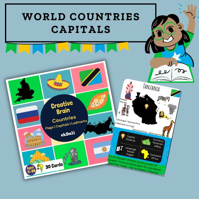
World Countries and Capitals Flashcards
WHO IS THE QUIZ MASTER FOR WORLD MAP BASED QUIZ EDITION 6?
Saffura is a mother of three. She is a yoga instructor and has spent a lot of time teaching yoga for children. She narrates numerous stories to inculcate moral values in children, as she is certain that yoga is for the body and soul. As a mother and yoga instructor, She enjoys new tasks and likes multitasking. She truly believes that will mould her into a strong writer. As a writer she does a lot of research and pays keen attention to details.


