Buy World Map For Wall
Age
2 - 4+
4 - 6+
6 - 9+
All Ages
Subject
History
General
Science
Motivation
Languages
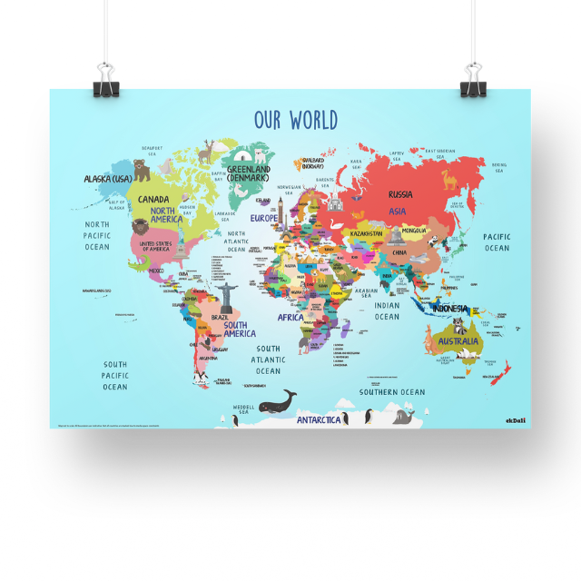
Buy world map for kids to make geography fun and interactive
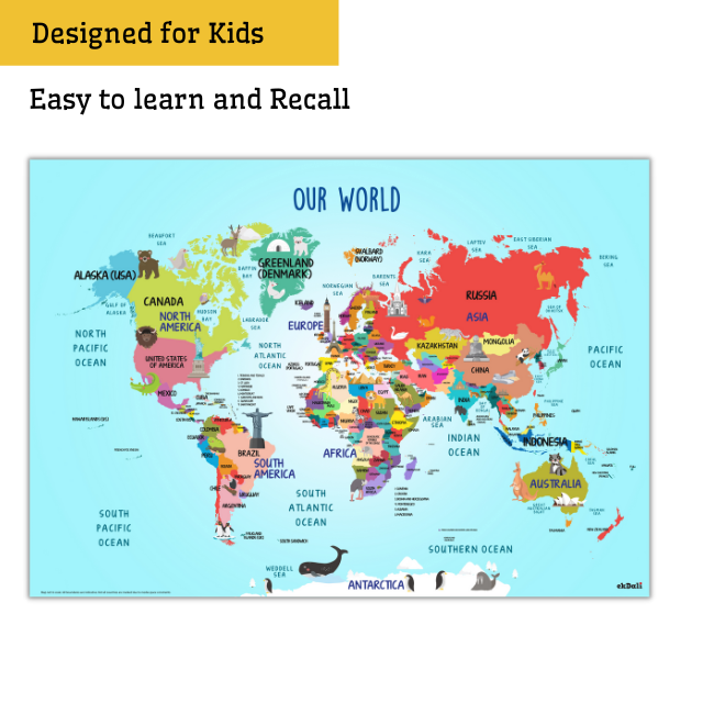
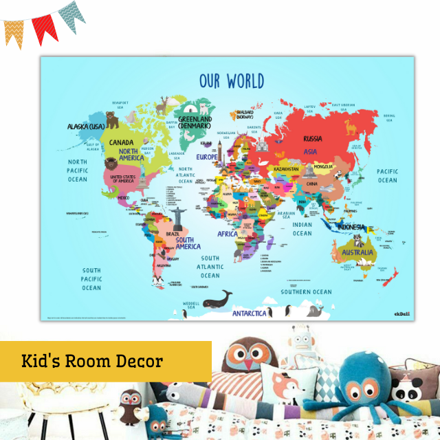
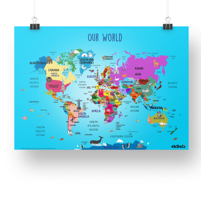
This world map for kids is a great way to make geography fun for kids.
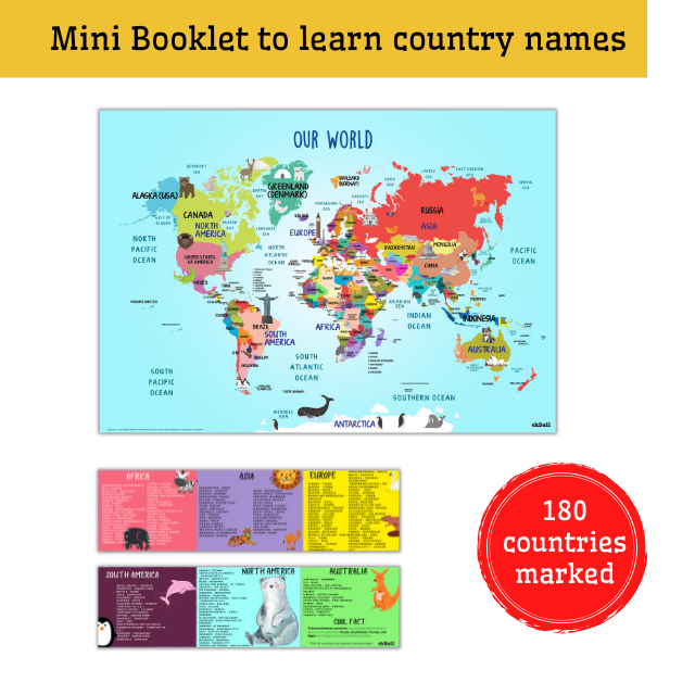
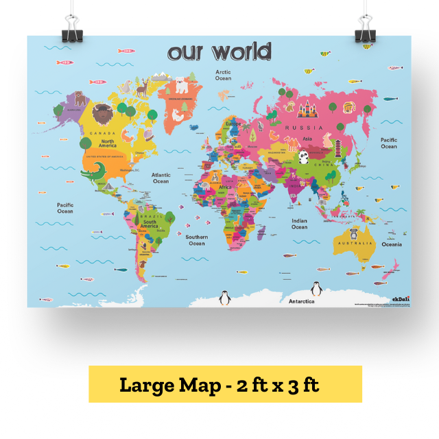
This is a fun world map depicting 180 countries. It is designed in a kid friendly way for easy learning.
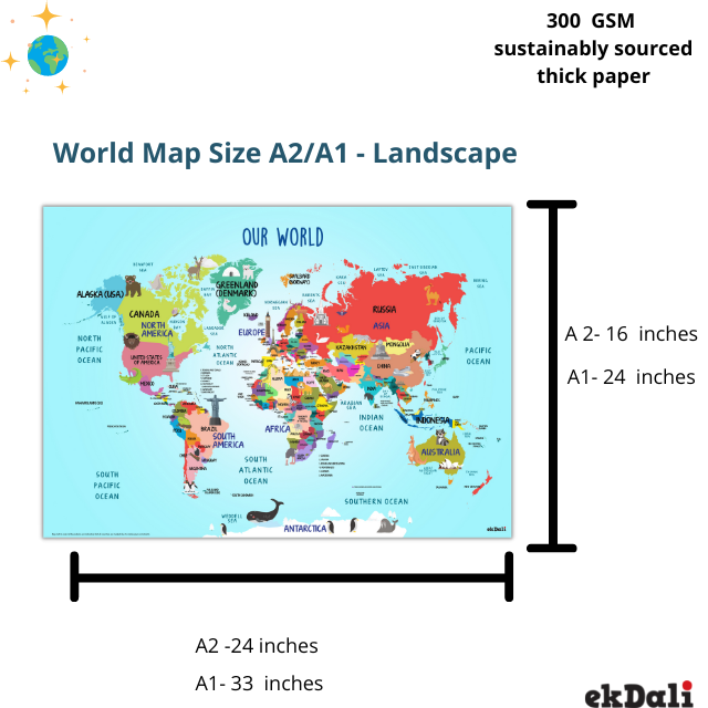
The Map comes in two sizes . To have a Medium size map choose A2 size 16 X 24 inches. If you want a large map go for the A1 size is 24 x 33 inches
The high contrast colours, landmarks and animals make it easy for kids to recall the locations of the countries making this one of the best world maps for kids of all ages
You can make this into an interactive world map for kids, you can play point the country on the map by giving clues.
You can ask kids to find neighbour countries. you can ask kids to spot the landmarks on the map. You can discuss history of the monuments on the map.
You may ask the kids to find out in which country a particular animal can be located. You can build conversations around why certain animals live in certain habitats.
- GEOGRAPHY MADE FUN: A unique, fun and exciting map to help children learn the countries across the world
- LEARN LOCATION: There are 180 countries marked on the map . And kids can point and learn the country names and locations in the world map. You can also play spot the country game with the map
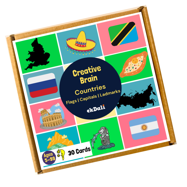
- LEARN THE COUNTRY CAPITALS: Learn the capitals with the special double sided folding mini booklet
- MAP QUALITY: A2 size is 16 X 24 inches. . A1 size is 24 x 33 inches. 300 GSM thick paper.Durable ink. Map and booklet come rolled in a poster tube for safe transport
- CONTENTS: 1 world map and 1 county capital booklet
- MAP SKILLS in YOUNG CHilDREN: This World map is useful for developing map skills for elementary school students.
-
 Posters, Flash Cards and Books are Great Conversation Starters
 -
 Our Posters and Flash Cards have reached over 300,000 kids
 -
 Same day shipping for orders before 1 PM. Next day shipping for orders post 1 PM
 -
 Write to us purchase@ekdali.com


