Buy India Map for Kids
Age
2 - 4+
4 - 6+
6 - 9+
All Ages
Subject
History
General
Science
Motivation
Languages
Buy India Map With Monuments for kids
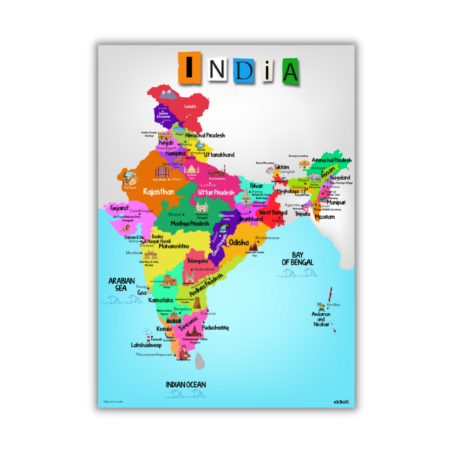
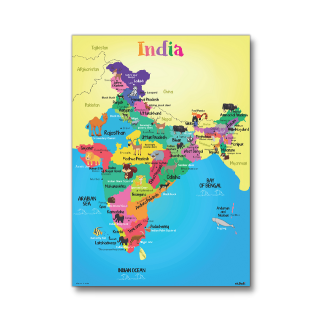
This India map is a great way for kids to learn about states and capitals.
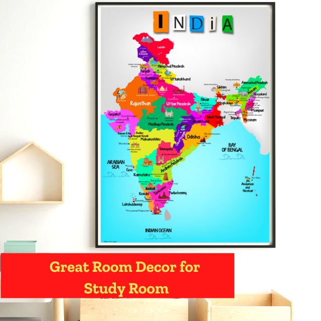
It is the new map of India . It is very useful for kids to learn about India. The monuments and colourful representation makes it fun for kids to learn
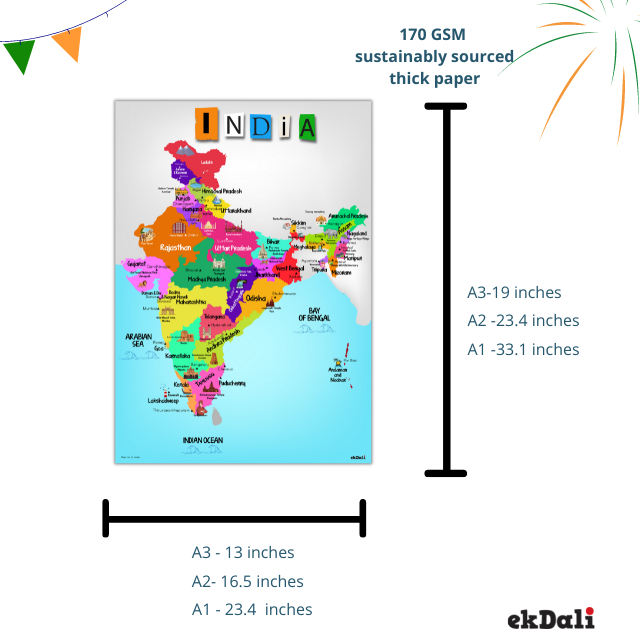
This map comes in 3 sizes. A3 size is 13 x 19 inches, which is a small size map. To get a medium size map choose A2 size 16 x 24 inches. If you are looking for a large map go for A1 size
24 x 33 inches
This map can be used to teach kids , Location of states and capitals in the India Map, Monuments of India, World Heritage Sites in India and states and capitals
This India Map is designed to make Learning easy for kids. It helps to easily memorise because of high contrast colours and monuments
Learn all the states and union territories of India and their capitals with this Political map of India.
- CHILD FRIENDLY DESIGN: Easy to Learn because of high contrast design . Monuments and Landmarks help in memory and recall.
- INDIA MAP : This is a great Learning and Education India Map for kids to make geography fun and easy for kids
- CURIOSITY BUILDING: Improves attention span, focus, General Knowledge and conversation skills in Kids.Creates curiosity.
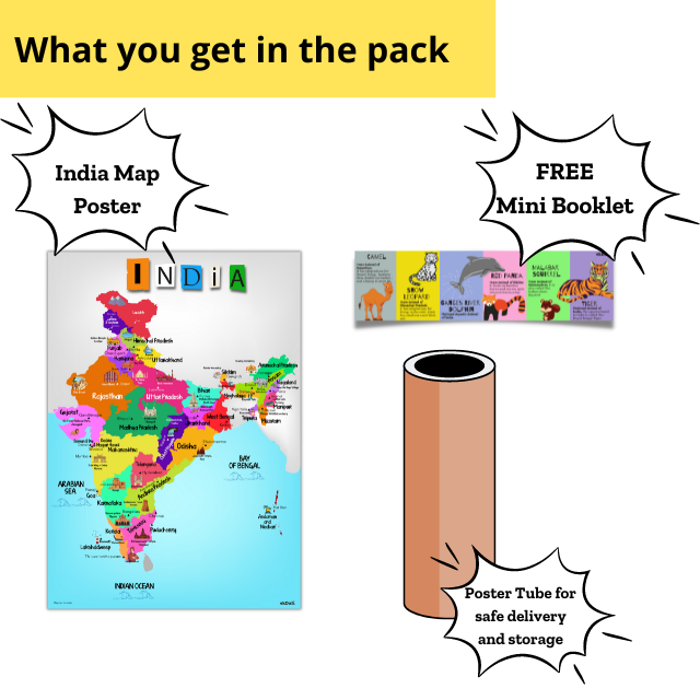
- MAP QUALITY : Printed on 210 GSM Paper. A3 size is 13 x 19 inches, which is a small size map. To get a medium size map choose A2 size 16 x 24 inches. If you are looking for a large map go for A1 size 24 x 33 inches Rolled in Paper Tube for Safe Delivery
- FREE : Fun Indian Animals Mini Booklet for kids added to this map
- DISCLAIMER: Map not to scale. All efforts have been made to make the image accurate. However, ekdali or its partners do not own responsibility for correctness or authenticity of the same.
-
 Posters, Flash Cards and Books are Great Conversation Starters
 -
 Our Posters and Flash Cards have reached over 300,000 kids
 -
 Same day shipping for orders before 1 PM. Next day shipping for orders post 1 PM
 -
 Write to us purchase@ekdali.com


